QGIS
Jun 1, 2023
·
1 min read


Step-by-step tutorials for extracting and working with OpenStreetMap data....
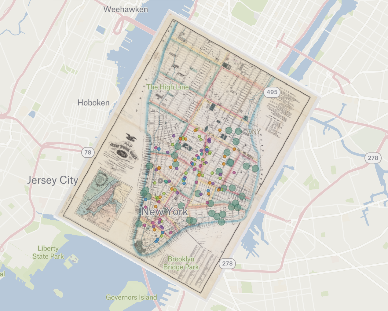
Steps for georeferencing maps in a number of software choices....

Sequential and comprehensive steps to working with census data for mapping....
