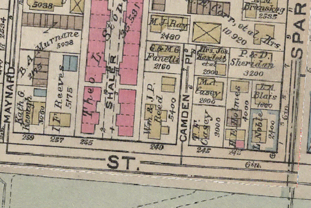
Vectorize maps into data; polygon area calculations for QGIS
Aug 8, 2024
·
10 mins read
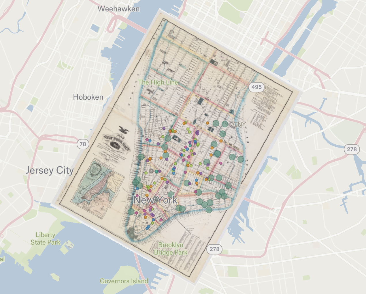
Adding a historic map from the Harvard Map Collection to a web map in Felt